VAMLAV
For many AI systems, there is a high demand for good computer vision datasets. There are only a few datasets on the market today which are free and open. The purpose of the VAMLAV project – Validation of Mapping and Localization for Autonomous Vehicles – is to create a new dataset that is free and open to stakeholders, and also contains HD maps that include changes in the environment.
Purpose
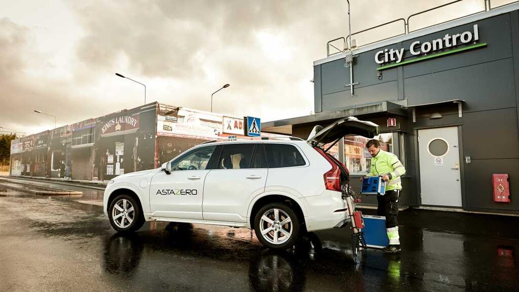
The aim of the project is to give other partners the chance to contribute to the dataset at the Rural Road test track at AstaZero.
VAMLAV will develop an HD map of the Rural Road by using the existing measurement infrastructure specifically installed at the test track for measuring positions, and by designing and installing anchor points. VAMLAV will also collect data from the specific sensors for the dataset.
The dataset that will be created in the project is mainly intended to be used at VAMLAV for validating and testing map generation technologies and localization/positioning systems.
This new dataset will include changes in the testing environment, a corresponding HD map, and the effects of repeated driving around the same test track. By making the dataset open, multiple other research areas are enabled and this creates the possibility for crowdsourcing with VAMLAV’s dataset.
Project team
AstaZero is responsible for project management and AI Sweden is for distributing the dataset and helping to spread knowledge about the dataset to its partners in the academic, public, and industrial sectors. RISE will contribute with expertise on reference systems, GNSS as well as knowledge in estimation and calculation of measurement uncertainties. Zenseact (formerly Zenuity) will contribute to validating maps, data collection, and localization and provide input on anchor points.
Facts
Project partners: Lindholmen Science Park, AstaZero AB, RISE, Zenseact (formerly Zenuity). This project is funded by Vinnova ´s FFI Program
Project period: 20191001 - 20210930
Contact