Data from space teach us more about the state of nature
Climate change is becoming ever more apparent, with clear visible changes to our woodland and grassland. Our two Space Data Lab pilot projects are now testing how satellite data can be used to improve how we monitor and prepare for these changes. The first of these projects assesses ground humidity in relation to the risk of forest fires. The second project monitors increased vegetation and overgrowth at Lake Vänern.
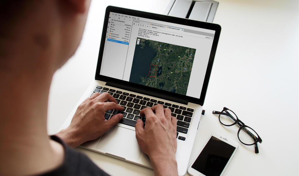
Through the autumn the National Space Data Lab has worked towards the development of a so-called “data cube” using two different pilot applications: "Climate adaptation data cubes" for Mälardalen and Lake Vänern.
These aim to test how to perform integrations that are based on the data cube and how these could be used to make available satellite data that is sourced from external parties.
The point of departure for these projects has been based on satellite data that has been collected and supplemented with an interface and data analysis, and used to develop applications.
Climate adaptation data cube, Mälardalen
The pilot focuses on measuring ground humidity to predict forest fires, which would have been useful during the summer of 2018 where large areas of forest in Västmanland were destroyed by fire. This is essential in view of the fact that the number of days with low ground humidity and a consequential high risk of fires is likely to increase in the future because of climate change.
The pilot that has been developed aims to identify potential areas where there is a risk of fires and, for example, announce outdoor grilling bans in good time, increase water reserves reservoirs. It also allows us to track the damage that is caused by fires. The primary users of the application will be Västmanland county administrative board and insurance companies as a basis for customer risk assessment.
The working group on the Mälardalen pilot was comprised of: Rise and Västmanland county administrative board.
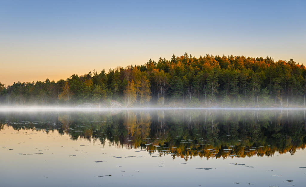
Climate adaptation data cube, Lake Vänern
The second pilot project has focused on the state of Lake Vänern with respect to water levels, vegetation and green regeneration. As increasing numbers of open beach areas are becoming overgrown with small trees and bushes, we need to monitor how fast and where overgrowth is becoming a problem in order to identify the locations that need to be maintained. We are able to use the satellite data from the application to see how the changes occur over time. We can also use machine learning to train the application how to recognise areas that will soon become overgrown.
The working group of the Lake Vänern pilot was comprised of: Västra Götalands länsstyrelse, Rise, Metria and Space Agency
About the National Space Data Lab
The aim of the Space Data Lab is to increase the use of space data to progress our society, to develop our industry and to make the Earth a better place. It will serve as a national resource for the Swedish authorities in their work on Earth observation data and the development of AI-based space data analysis. The objective is to establish the data, technology and methods that will be required towards the systematic development of services and applications that are based on space data, here at the Space Data Lab.
The project is funded by Vinnova and operates in partnership with the Swedish Space Agency (Rymdstyrelsen), AI innovation of Sweden, Luleå Technical University and RISE Research Institutes of Sweden.
Read more about the Swedish Space Data Lab
Follow us
AI Sweden Newsletter
Sign up for the latest in Swedish AI
AI Sweden is formally hosted by Lindholmen Science Park AB.